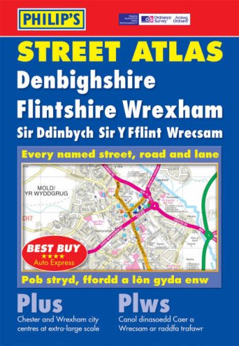
Philip's Street Atlas Denbighshire, Flintshire and Wrexham


Summary
The feel-good place to buy books
Philip's Street Atlas Denbighshire, Flintshire and Wrexham by Unknown
This atlas includes complete coverage of Denbighshire, Flintshire and Wrexham. It includes postcodes on mapping and a two-colour index. Each map contains details of emergency services, farms, public buildings and car parks.
'Best Buy' *****AUTO EXPRESS
| SKU | Unavailable |
| ISBN 13 | 9780540085903 |
| ISBN 10 | 0540085901 |
| Title | Philip's Street Atlas Denbighshire, Flintshire and Wrexham |
| Author | Philip's Maps |
| Series | Philip's Street Atlases |
| Condition | Unavailable |
| Binding Type | Paperback |
| Publisher | Octopus Publishing Group |
| Year published | 2004-04-05 |
| Number of pages | 176 |
| Cover note | Book picture is for illustrative purposes only, actual binding, cover or edition may vary. |
| Note | Unavailable |