
Philip's Street Atlas Sheffield and Rotherham


Summary
The feel-good place to buy books
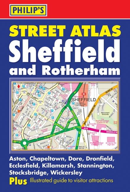
Philip's Street Atlas Sheffield and Rotherham by Various
This new street atlas of Sheffield, Aston, Beighton, Chapeltown, Dore, Dronfield, Ecclesfield, Killamarsh, Rotherham, Stannington, Stocksbridge and Wickersley gives comprehensive and detailed coverage of the area with 102 pages at an enlarged scale of 4.5 inches to 1 mile, and four pages of ultra-large coverage of central Sheffield at 7 inches to 1 mile. The maps are prepared to the same specification as all titles in the Philip's street atlas series.The contents include a route-planner: four pages of detailed Navigator(r) mapping giving an overview of the whole area covered by the atlas and marking all major and minor roads; a two-page guide to the top visitor attractions, and an index of street names and postcodes.The maps show every named road, street and lane, with visitor attractions clearly marked, and one-way streets, pedestrian areas and through-routes all highlighted. Schools, colleges, hospitals, police stations, post offices, car parks, sports centres and local government offices are all featured.Pocket sized, and wire stitched so that it opens out flat, the atlas is ideally suited for both business and leisure use, whether by locals or visitors.| SKU | Unavailable |
| ISBN 13 | 9780540091485 |
| ISBN 10 | 0540091480 |
| Title | Philip's Street Atlas Sheffield and Rotherham |
| Author | Philip's Maps |
| Condition | Unavailable |
| Binding Type | Paperback |
| Publisher | Octopus Publishing Group |
| Year published | 2007-06-29 |
| Number of pages | 144 |
| Cover note | Book picture is for illustrative purposes only, actual binding, cover or edition may vary. |
| Note | Unavailable |