Picture Atlas of the World (Revised-3rd Edition)


Summary
The feel-good place to buy books
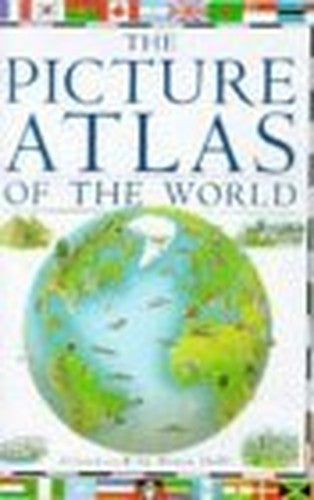
Picture Atlas of the World (Revised-3rd Edition) by Richard Kemp
This picture atlas covers every continent and country in the world and includes the independent states in Yugoslavia and the former USSR. Three-dimensional maps show mountains, rivers, volcanoes, geysers and glaciers, and buildings, places of interest, people, animals, crops and plants, food and national sports. Each map is supported by boxed features giving facts about the countries, accompanied by colour photographs highlighting some aspect of the scenery or wildlife. The national flags of every country in the world are included, as well as special illustrated features on capital cities and national wonders such as the Taj Mahal and the Great Rift Valley.| SKU | Unavailable |
| ISBN 13 | 9780751353587 |
| ISBN 10 | 0751353582 |
| Title | Picture Atlas of the World (Revised-3rd Edition) |
| Author | Richard Kemp |
| Condition | Unavailable |
| Binding Type | Hardback |
| Publisher | Dorling Kindersley Ltd |
| Year published | 1996-04-04 |
| Number of pages | 64 |
| Cover note | Book picture is for illustrative purposes only, actual binding, cover or edition may vary. |
| Note | Unavailable |