Postcode Atlas of Great Britain and Northern Ireland


Summary
The feel-good place to buy books
Postcode Atlas of Great Britain and Northern Ireland by Unknown Author
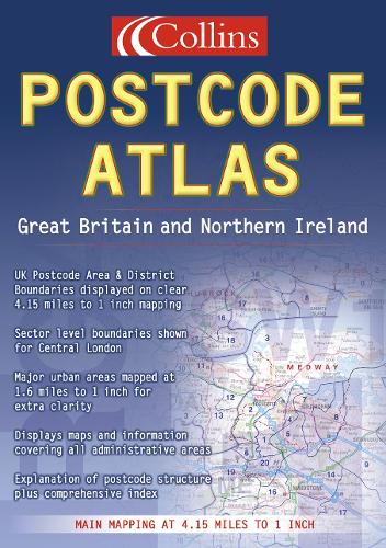
Main Maps 1:263,000, 4.15 miles to 1 inch. An essential business tool, this atlas, which has been updated for 2002, clearly shows the postcode boundaries on brand new full colour mapping.| SKU | Unavailable |
| ISBN 13 | 9780004488363 |
| ISBN 10 | 0004488369 |
| Title | Postcode Atlas of Great Britain and Northern Ireland |
| Author | Unknown Author |
| Condition | Unavailable |
| Binding Type | Hardback |
| Publisher | HarperCollins Publishers |
| Year published | 1999-06-07 |
| Number of pages | 232 |
| Cover note | Book picture is for illustrative purposes only, actual binding, cover or edition may vary. |
| Note | Unavailable |