


Postcode Atlas of Great Britain and Northern Ireland by Unknown Author
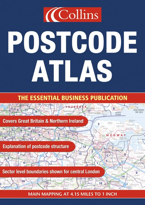
Main Maps 1:263,000, 4.15 miles to 1 inch. An essential business tool, this atlas, which has been updated for 2003, clearly shows the postcode boundaries (down to district level) for the whole country on detailed colour mapping. In central London postcodes are shown to sector level.
MAIN FEATURES
• Updated for 2003
• Shows postcode areas and districts for the whole of Great Britain and Northern Ireland in full colour
• Shows central London at both district and sector level
• Conurbation areas shown at enlarged scale of 1.6 miles to 1 inch
• Information on the structure and uses of postcodes
• Includes gazetteer listing of administrative areas
INCLUDES
• Full index to place names
• Index to postcode abbreviations
• Postcode information clearly shown
• Comprehensive background map detail
AREA OF COVERAGE
Covers the whole of Britain and Northern Ireland
WHO THE PRODUCT IS OF INTEREST TO
This atlas is aimed at the business user who will find it an essential tool for many applications including market analysis, distribution planning and sales territory organisation.
| SKU | Unavailable |
| ISBN 13 | 9780007160884 |
| ISBN 10 | 0007160887 |
| Title | Postcode Atlas of Great Britain and Northern Ireland |
| Author | Unknown Author |
| Condition | Unavailable |
| Binding Type | Hardback |
| Publisher | HarperCollins Publishers |
| Year published | 2003-05-06 |
| Number of pages | 232 |
| Cover note | Book picture is for illustrative purposes only, actual binding, cover or edition may vary. |
| Note | Unavailable |