

Road Atlas Britain 2015 by Aa Publishing
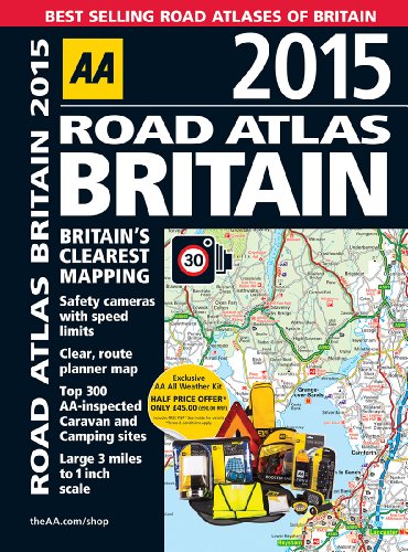
AA Road Atlas Britain 2015 is a best-selling road atlas showcasing Britain's clearest mapping at a large, 3.2 miles to 1 inch scale. Each page has been titled with its geographical location so you can turn to the page you need more easily. Static speed camera locations with speed limits are pinpointed. Wide minor roads, National Trust, English and World Heritage, crematorium locations and other hard-to-find places are also shown. There are 104 city, town and port plans, full-colour county, unitary and administrative area map and a comprehensive 31,500 entry index with airports, top tourist sites and motorway services listed. Plus, scenic routes, tourist sites with satnav friendly postcodes and caravan and camping sites symbolised on the mapping.| SKU | Unavailable |
| ISBN 13 | 9780749576110 |
| ISBN 10 | 0749576111 |
| Title | Road Atlas Britain 2015 |
| Author | Aa Publishing |
| Condition | Unavailable |
| Binding Type | Spiral bound |
| Publisher | AA Publishing |
| Year published | 2014-07-01 |
| Cover note | Book picture is for illustrative purposes only, actual binding, cover or edition may vary. |
| Note | Unavailable |