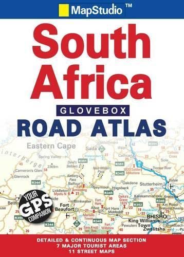
Road Atlas Glovebox South Africa


Summary
The feel-good place to buy books
Road Atlas Glovebox South Africa by Map Studio
Detailed maps of South Africa at 1:1 500 000 - detailed & continuous map section; 7 major tourist areas - Cape peninsula; South Western Cape & Overberg; Garden Route; Gauteng; Kruger National Park; Drakensberg; Kwazulu-Natal Coast; 11 street maps - Pietermaritzburg; Durban; Nelspruit; Polokwane; Pretoria; Johannesburg; Bloemfontein; Kimberley; East London; Port Elizabeth; Cape Town. Includes: freeways; National roads; Route numbers; Nature reserves & parks; Places of interest; Tourist information; Index to place names; Co-ordinates.| SKU | Unavailable |
| ISBN 13 | 9781770261051 |
| ISBN 10 | 1770261052 |
| Title | Road Atlas Glovebox South Africa |
| Author | Map Studio |
| Condition | Unavailable |
| Binding Type | Paperback |
| Publisher | Penguin Random House South Africa |
| Year published | 2009-12-01 |
| Cover note | Book picture is for illustrative purposes only, actual binding, cover or edition may vary. |
| Note | Unavailable |