

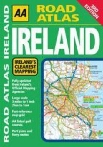
Road Atlas Ireland by Aa Publishing
Updated from Ireland's Official Mapping Agencies, OSI and OSNI, the "AA Road Atlas Ireland" includes AA approved camping sites and AA recommended golf courses, car parks, picnic sites, port plans and ferry routes plus motorway strip maps including the M1 Toll Drogheda bypass. There are 11 detailed city and town plans: Belfast, Cork, Londonderry, Dublin, Dun, Laoghaire, Galway, Killkarney, Limerick, Sligo and Waterford; and an easy-to-read 3,500 place name index which including tourist sites.| SKU | Unavailable |
| ISBN 13 | 9780749556068 |
| ISBN 10 | 0749556064 |
| Title | Road Atlas Ireland |
| Author | Aa Publishing |
| Series | Aa Atlases And Maps |
| Condition | Unavailable |
| Binding Type | Paperback |
| Publisher | AA Publishing |
| Year published | 2008-03-31 |
| Number of pages | 96 |
| Cover note | Book picture is for illustrative purposes only, actual binding, cover or edition may vary. |
| Note | Unavailable |