

Road Map Spain and Portugal by
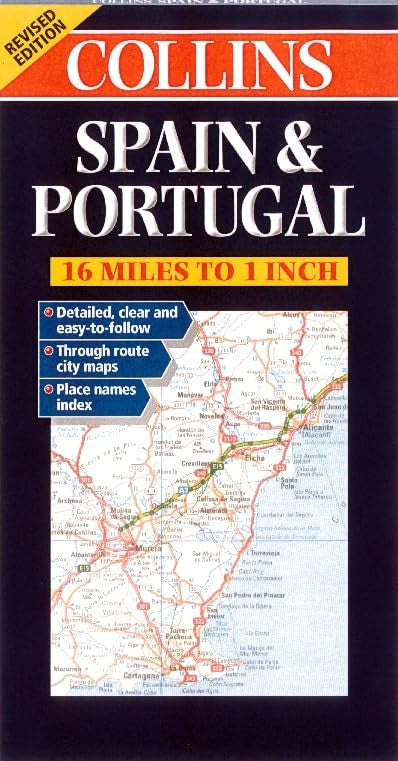
Revised edition featuring digital mapping from the Bartholomew European Database. Scale 1 : 1 000 000 (1cm to10 kms / 1 inch to 16 miles). MAIN FEATURES Fully classified road network with road numbers motorway services, road distances, and ferry routes. Attractive hillshading to indicate relief. Through route town plans. INCLUDES Through route maps of Barcelona, Madrid, Seville, Valencia and Lisbon. Index to place names on reverse of the sheet. AREA OF COVERAGE All of Spain and Portugal from the Pyrenees to the Straits of Gibraltar and including the Balearic Islands. WHO THE PRODUCT IS AIMED AT Tourist, motorist and anyone planning to travel in Spain or Portugal. OTHER PRODUCTS IN THE SERIES France Italy Germany, Austria & Switzerland Greece Southern Scandinavia| SKU | Unavailable |
| ISBN 13 | 9780004490328 |
| ISBN 10 | 0004490320 |
| Title | Road Map Spain and Portugal |
| Condition | Unavailable |
| Binding Type | Sheet map, folded |
| Publisher | HarperCollins Publishers |
| Year published | 2000-01-04 |
| Cover note | Book picture is for illustrative purposes only, actual binding, cover or edition may vary. |
| Note | Unavailable |