

The Rough Guide Map Brittany by Rough Guides
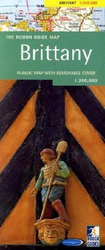
Brittany is one of the most popular regions of France, with highlights including Mont-St-Michel and the medieval city of Rennes. "The Rough Guide" map is ideal for those touring by car - a popular option amongst visitors from the UK and Ireland. The map includes all the ferry routes into St Malo, and all the roads across the region from autoroutes to tracks. There are also footpaths and contour lines for those hiking around the national parks and coastlines. As with all the maps in the "Rough Guides" series, this map is made of rip-proof, waterproof Polyart paper, durable enough to survive a trip spent in the car seat-back, rucksack, and cafe table-top.
Produced for Rough Guides by the World Mapping Project
| SKU | Unavailable |
| ISBN 13 | 9781843532385 |
| ISBN 10 | 1843532387 |
| Title | The Rough Guide Map Brittany |
| Author | Rough Guides |
| Condition | Unavailable |
| Binding Type | Sheet map |
| Publisher | APA Publications |
| Year published | 2004-03-25 |
| Number of pages | 1 |
| Cover note | Book picture is for illustrative purposes only, actual binding, cover or edition may vary. |
| Note | Unavailable |