

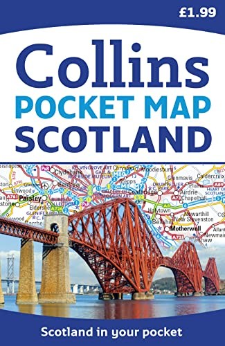
Scotland Pocket Map by Collins Maps
Handy little full colour map of Scotland. Excellent value and very detailed for its size. Double-sided folded map with the Central Belt, southern Scotland and northern England on one side and northern Scotland including Orkney and Shetland on the reverse. FEATURES: • Clear mapping at a scale of 8.7 miles to 1 inch. • National Tourist Routes showing best routes through the most scenic areas. • Top 100 places of interest. • Park and Ride locations. • Ideal companion to a sat-nav – it enables route planning and route sense-checking. Essential for those planning a trip or who want an inexpensive and easy-to-use back up for a sat-nav.Explore the world through accurate and up-to-date mapping.
| SKU | Unavailable |
| ISBN 13 | 9780007541317 |
| ISBN 10 | 0007541317 |
| Title | Scotland Pocket Map |
| Author | Collins Maps |
| Condition | Unavailable |
| Binding Type | Sheet map, flat |
| Publisher | HarperCollins Publishers |
| Year published | 2014-03-13 |
| Number of pages | 6 |
| Cover note | Book picture is for illustrative purposes only, actual binding, cover or edition may vary. |
| Note | Unavailable |