South East England Including London


Summary
The feel-good place to buy books
South East England Including London by Ordnance Survey
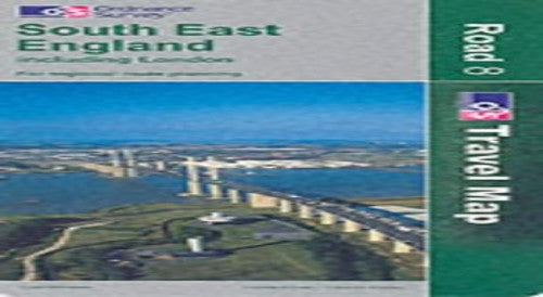
The eight maps in this series, released in May 2001 by the Ordnance Survey, are designed to include everything a driver needs to explore the country. A journey can be planned in advance, making full use of the colour-coded roads, restricted motorway junctions and mileage guides. They even include height and steep gradient information, making them ideal not only for motorists but also for long distance cyclists and caravanners. From major cities to small villages, each map features a unique gazetteer inside the cover to simplify the task of finding your destination. Tourist information is also included for day trippers and holiday makers including Caravan sites, historic buildings, gardens and country parks, themes and much more.| SKU | Unavailable |
| ISBN 13 | 9780319230657 |
| ISBN 10 | 0319230651 |
| Title | South East England Including London |
| Author | Ordnance Survey |
| Series | Road Map |
| Condition | Unavailable |
| Binding Type | Sheet map, folded |
| Publisher | Ordnance Survey |
| Year published | 2003-02-13 |
| Number of pages | 8 |
| Cover note | Book picture is for illustrative purposes only, actual binding, cover or edition may vary. |
| Note | Unavailable |