The Sperrins, The


The Sperrins, The
Regular price
Checking stock...
Regular price
Checking stock...
Summary
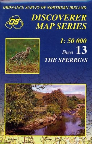
This map is derived from the latest large scale material, supplemented by aerial photographs and ground surveys. It is the country's most detailed small-scale map. It is fully metricated and comes in two forms, fully-coloured and outline.
The feel-good place to buy books
- Free US shipping over $15
- Buying preloved emits 41% less CO2 than new
- Millions of affordable books
- Give your books a new home - sell them back to us!
The Sperrins, The by Ordnance Survey Of Northern Ireland
Ordnance Survey of Northern Ireland (OSNI) has replaced its One-Inch maps with a completely new series at 1:50,000 scale, approximately 1.25 inches to one mile. The series is numbered on an all-Ireland basis and OSNI is responsible for the design and publication of the sheets that cover Northern Ireland and adjoining parts of the Republic of Ireland. The layout incorporates a number of overlaps. The map is derived from the latest large scale material, supplemented by aerial photographs and ground surveys. It is the country's most detailed small-scale map and as well as showing all the features that were on the One-Inch map, the slightly larger scale allows for the inclusion of additional features and names and gives an increase in clarity which is more evident in built-up areas. In high moorland areas where detail is scarce, prominent fences and walls are shown. The series is fully metricated and all sheets are published in two forms, fully-coloured and outline, both of which carry the Irish Grid at 10 km intervals. The coloured edition shows relief by contours at 10 metre vertical intervals with layered tints. Height information is expressed in metres above Mean Sea Level at Malin Head, County Donegal.| SKU | Unavailable |
| ISBN 13 | 9781873819548 |
| ISBN 10 | 1873819544 |
| Title | The Sperrins, The |
| Author | Ordnance Survey Of Northern Ireland |
| Series | Irish Discoverer Series |
| Condition | Unavailable |
| Publisher | Ordnance Survey |
| Year published | 1999-11-01 |
| Cover note | Book picture is for illustrative purposes only, actual binding, cover or edition may vary. |
| Note | Unavailable |