

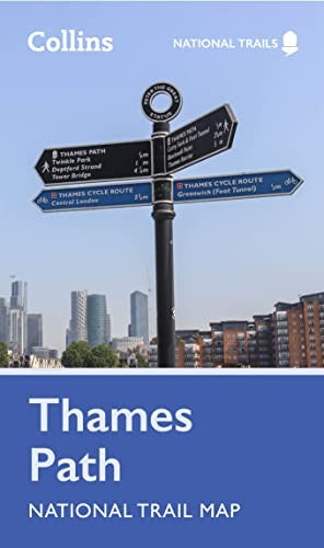
Thames Path National Trail Map by Collins Maps
Perfect guide and map for planning your adventure along the Thames Path. Highlights of this Planning Map include: More than 20 highlighted places of interest with detailed descriptions and attractive photographs, including: Tower Bridge, Hampton Court Palace, and Kew Gardens A comprehensive index to more than 800 cities, towns and villages A clear, visible route plotted across the map Advice on safety and security when travelling along the route, as well as the countryside code and the code of conduct Part of the National Trail network, this long distance footpath covers 184 miles (296 km) and follows the length of England’s longest river, the Thames, from its source in the Cotswolds to the Thames Barrier in Greenwich, London. A suggested walking itinerary makes it easy for users to plan their journey along this popular route.Explore the world through accurate and up-to-date mapping.
| SKU | Unavailable |
| ISBN 13 | 9780008602963 |
| ISBN 10 | 0008602964 |
| Title | Thames Path National Trail Map |
| Author | Collins Maps |
| Condition | Unavailable |
| Binding Type | Sheet map, rolled |
| Publisher | HarperCollins Publishers |
| Year published | 2023-02-16 |
| Number of pages | 1 |
| Cover note | Book picture is for illustrative purposes only, actual binding, cover or edition may vary. |
| Note | Unavailable |