

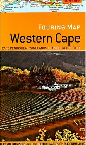
Touring map Western Cape by John Hall
Scale: 1:750,000. A folded road map featuring: Easy-to-read, detailed road network with road numbers and distances on main routes; Places of interest, water features, national parks and nature reserves; Street plan of principle cities; Distance chart; Detailed area maps of the Cape Peninsula, Garden Route to Port Elizabeth, and Franschhoek Paarl Stellenbosch wine region; Town plan of Cape Town; Place name index; Distance chart.| SKU | Unavailable |
| ISBN 13 | 9781919938851 |
| ISBN 10 | 1919938850 |
| Title | Touring map Western Cape |
| Author | John Hall |
| Condition | Unavailable |
| Binding Type | Sheet map, folded |
| Publisher | Sunbird Publishers Ltd |
| Year published | 2008-05-19 |
| Cover note | Book picture is for illustrative purposes only, actual binding, cover or edition may vary. |
| Note | Unavailable |