
USA Maps and the 50 USA States Coloring Book


World of Books
The feel-good place to buy books
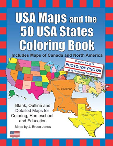
USA Maps and the 50 USA States Coloring Book by J Bruce Jones
Learn about and color the basic geographic layout of the USA and each of the 50 US states with USA Maps and the 50 USA States Coloring Book: Including Maps of Canada and North America. USA State Maps are great for coloring, home school, education and even marking up a map for marketing. Each outline map is presented in two ways, one page has the map with corresponding cities, capitals and physical features. the opposite page has the blank outline without any of the information, includes a blank state map set in context in a general US map and some basic state facts including State Capital, Population, Size, Statehood, State Motto, State Nickname, State Bird, State Flower, State Tree, and a Fun Fact. Students can trace the outlines of the map, study and highlight cities, capitals and features, and finally review by filling in the pertinent data on the blank map. Each state is located on a USA map and is a great resource for students.USA Maps and the 50 USA States Includes
Includes maps of all 50 US States: Alabama, Alaska, Arizona, Arkansas, California, Colorado, Connecticut, Delaware, Florida, Georgia, Hawaii, Idaho and Illinois. Also Includes maps of: Indiana, Iowa, Kansas, Kentucky, Louisiana, Maine, Maryland, Massachusetts, Michigan, Minnesota, Mississippi, Missouri, Montana, Nebraska, Nevada and New Hampshire. And outline state maps of: New Jersey, New Mexico, New York, North Carolina, North Dakota, Ohio, Oklahoma, Oregon, Pennsylvania, Rhode Island, South Carolina, South Dakota, Tennessee, Texas, Utah, Vermont, Virginia, Washington, West Virginia, Wisconsin and Wyoming.
USA Maps and the 50 USA States Coloring Book also includes, black outline blank maps: World Robinson Projection, North America with countries, Canada with provinces, United State of America with states, and several World Projections, plus a USA Flag.
Also included are maps of US territories: Guam, Saipan, Northern Mariana Islands, Puerto Rico, and the United States Virgin Islands.
The printable, blank, outline maps in this coloring book can be freely photocopied by a teacher or parent for use in a classroom or for home school lessons.
| SKU | Unavailable |
| ISBN 13 | 9781468161892 |
| ISBN 10 | 146816189X |
| Title | USA Maps and the 50 USA States Coloring Book |
| Author | J Bruce Jones |
| Condition | Unavailable |
| Binding Type | Paperback |
| Publisher | Createspace Independent Publishing Platform |
| Year published | 2012-01-02 |
| Number of pages | 132 |
| Cover note | Book picture is for illustrative purposes only, actual binding, cover or edition may vary. |
| Note | Unavailable |