

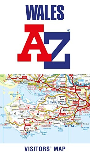
Wales A-Z Visitors Map by A-Z Maps
Explore the whole country from Cardiff and Pembrokeshire to Isle of Anglesey and Conwy, extending as far north as Liverpool. This detailed and up-to-date map contains 700 places of interest and an index to 4,000 towns and villages. Published at a clear 3.5 miles to 1 inch scale (2.2 kms to 1 cm), a handy road map includes primary route destinations, visitor attractions, ferry terminals and places of interest. Plus, there is detailed informative text for Cardiff, Swansea and the Gower Peninsula, the Pembrokeshire Coast, Snowdonia, the North Wales Coast and Caernarfon. The perfect map for exploring Wales whether you are a local or a tourist.Britain’s leading street map publisher providing cartographic services, digital data products and paper mapping publications (including Street Atlases, Visitors Guides, Great Britain Road Atlases and The Adventure Atlas).
| SKU | Unavailable |
| ISBN 13 | 9780008388140 |
| ISBN 10 | 0008388148 |
| Title | Wales A-Z Visitors Map |
| Author | A-Z Maps |
| Condition | Unavailable |
| Binding Type | Sheet map, folded |
| Publisher | HarperCollins Publishers |
| Year published | 2020-03-19 |
| Number of pages | 1 |
| Cover note | Book picture is for illustrative purposes only, actual binding, cover or edition may vary. |
| Note | Unavailable |