

York Streetfinder Atlas by Collins Bartholomew Ltd
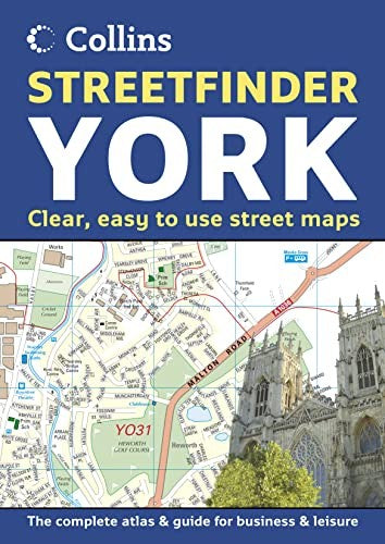
Scale: Town plan at 4 inches to 1 mile, Road map at 9 miles to 1 inch. Brand new fully detailed street level mapping, complete with 9 mile road mapping of the surrounding area. Includes information section. MAIN FEATURES Full colour street atlas combining two different scales of mapping: detailed town centre maps at 4 inches to 1 mile and a clear route planning map of the area surrounding York city centre at 9 miles to 1 inch. INCLUDES / large scale city centre street level mapping, fully indexed / local information section with important contacts and details / road mapping at 9 miles to 1 inch, centred on the city / city centre shown at extra large 8 inches to 1 mile scale for extra clarity / postal districts clearly shown AREA OF COVERAGE The atlas covers a large area of York and the surrounding area, extending from Strensall in the north to Bishopthorpe in the south, and from Upper Poppleton in the west to Dunnington in the east.| SKU | Unavailable |
| ISBN 13 | 9780007170029 |
| ISBN 10 | 0007170025 |
| Title | York Streetfinder Atlas |
| Author | Collins Bartholomew Ltd |
| Condition | Unavailable |
| Binding Type | Paperback |
| Publisher | HarperCollins Publishers |
| Year published | 2005-04-04 |
| Number of pages | 48 |
| Cover note | Book picture is for illustrative purposes only, actual binding, cover or edition may vary. |
| Note | Unavailable |