

Ordnance Survey is Britain's national mapping agency, responsible for the official, definitive mapping of the whole country. They produce and market a wide range of maps for educational and leisure purposes, as well as producing computer data products for government, business and administrative use.
| SKU | Unavailable |
| ISBN 13 | 9780319260029 |
| ISBN 10 | 031926002X |
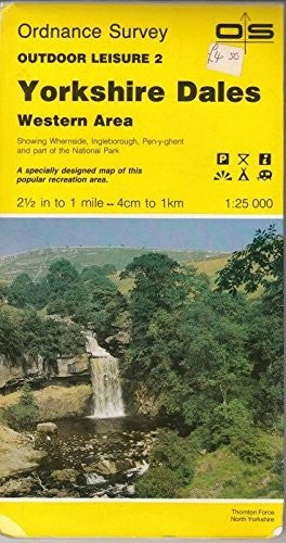
| Title | Yorkshire Dales |
| Author | Ordnance Survey |
| Series | Outdoor Leisure Maps |
| Condition | Unavailable |
| Binding Type | Sheet map, folded |
| Publisher | Ordnance Survey |
| Year published | 1989-12-01 |
| Cover note | Book picture is for illustrative purposes only, actual binding, cover or edition may vary. |
| Note | Unavailable |